Located in the midtown area of Toronto, Cedarvale Park has played a crucial role in the development of the surrounding neighbourhoods.
This park stretches 2 km from its northern to southern points, from Eglinton Avenue to the north and St. Clair Avenue to the south.
Location
History
The Cedarvale ravine is the main feature of the park and the ravine itself stretches far past the park itself. However, within the park, the Cedarvale ravine was an oasis for the Forest Hill neighbourhood where it is mostly found.
When the city of York (now Toronto) was being developed past Bloor Street, landowners and developers wanted to keep the natural aspects of the ravine intact so that it could act as an escape from the city for anyone who chose to live near the ravine (Kowalski & Chavez, 2016).
The park became more established between the 1920s and 30s when the city planners made it an official park within the city and therefore, impossible to develop anything onto it.
The park was a green lung for this part of the city as the ravine held many old-growth trees, natural marsh areas, and freshwater sources. However in the 1960’s, as York became Toronto- the city was beginning to develop beyond its original borders and new suburbs were popping up further from the city centre. Due to this, the city began to expand its highways’ to make travel between these suburbs and the main city much easier (Lewyn, 2011).
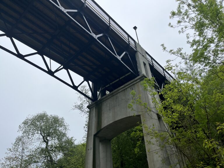
Due to this, Cedarvale Ravine and the park were threatened by the proposed Spadina Expressway, which would have taken the Allen Parkway to the Gardiner in the south. A large majority of the old growth was clear cut, the waterways were being covered with concrete and the entire ecosystem was being teared up. (Jacobs, 2000).
Due to the likes of Jane Jacobs and other city advocates, the Spadina Expressway was stopped before it could cause more damage to the park, and the city was returned to the city as parklands where they quickly began restoration work.
Today the park has no noticeable disruption from its destruction, and most has been returned to its original state as a green lung (Kowalski & Chavez).
Species On Trail
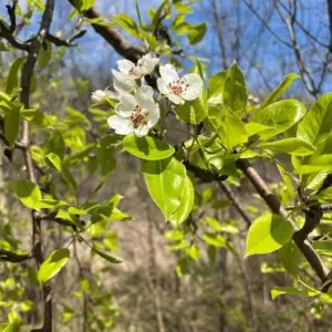
Sugar Maple - Acer saccharum
Canada Plum - Prunus nigra
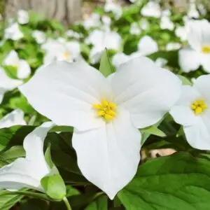
White Trillium - Trillium grandiflorum
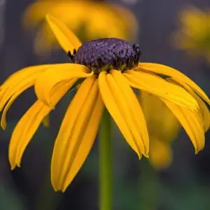
Black Eyed Susan - Rudbeckia hirta
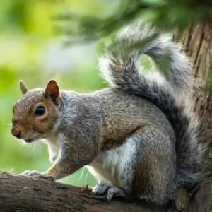
Eastern Grey Squirrel - Sciurus carolinensis
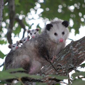
Virginia Opossum - Didelphis virginiana
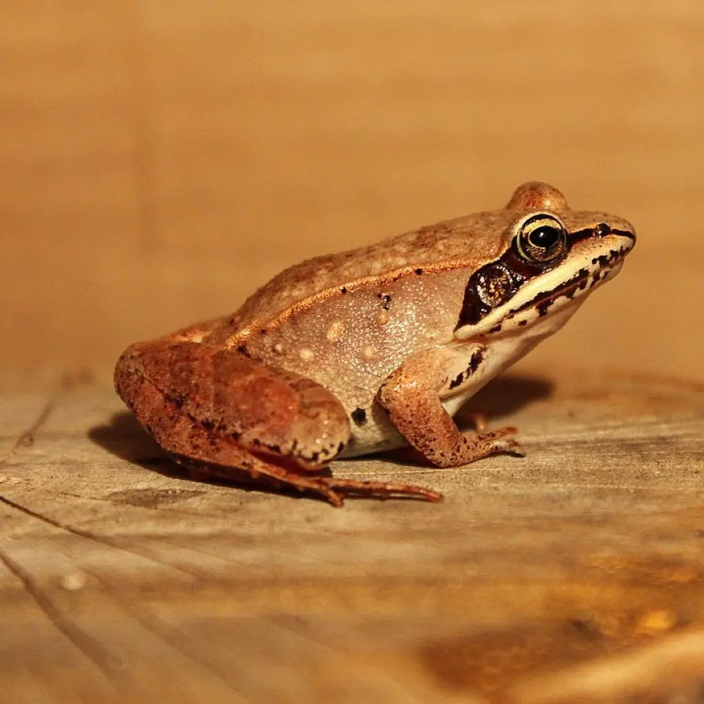
Wood Frog - Lithobates Sylvaticus
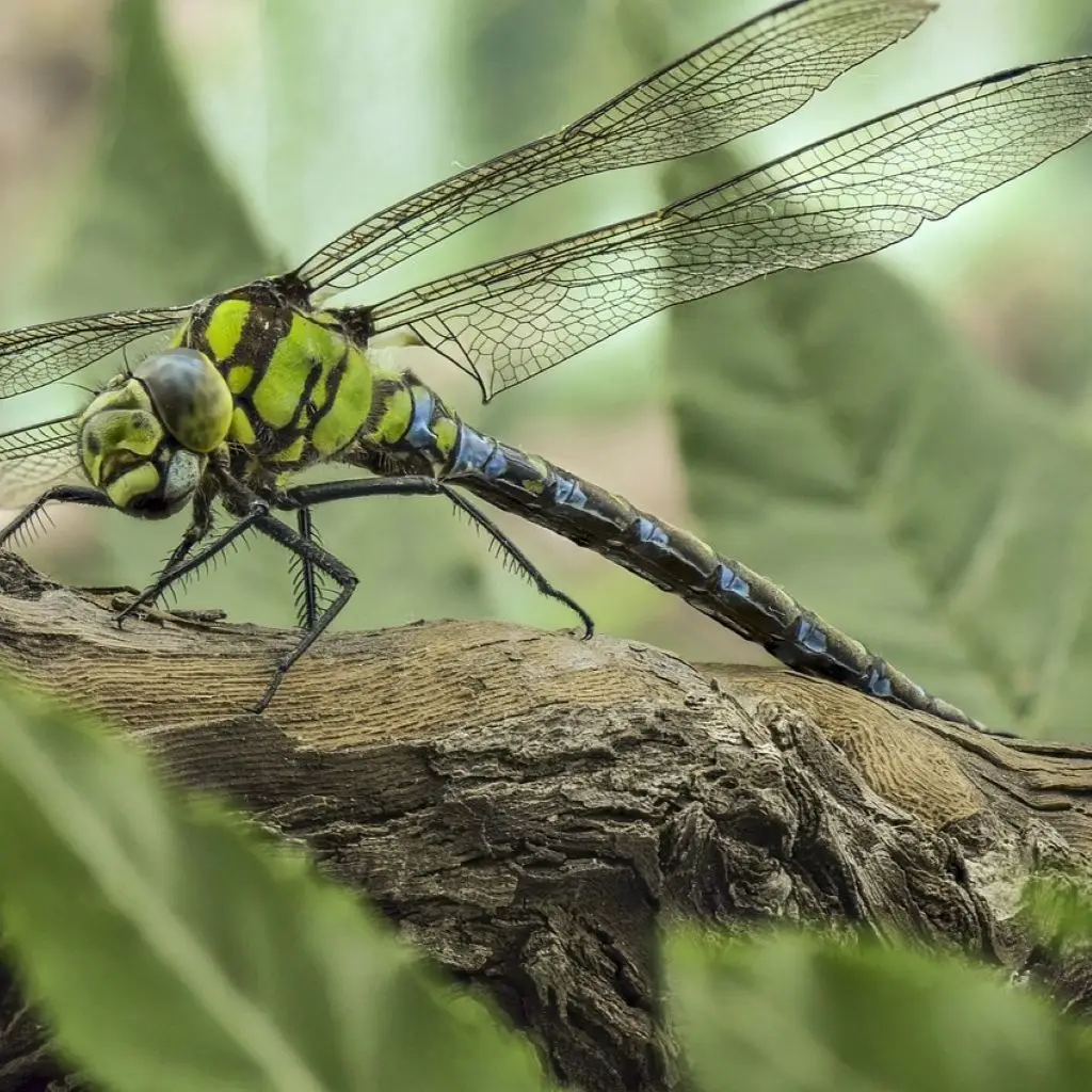
Common Green Darner - Anax junius
Featured Ecosystems
Within Cedarvale Park and the main trail from North to South, 2 major shifts in the ecology are noticeable as you walk along it. In the north, you will find mostly manicured grass, a hockey arena, basketball courts and a dog park (Toronto Nature Stewards, 2024).
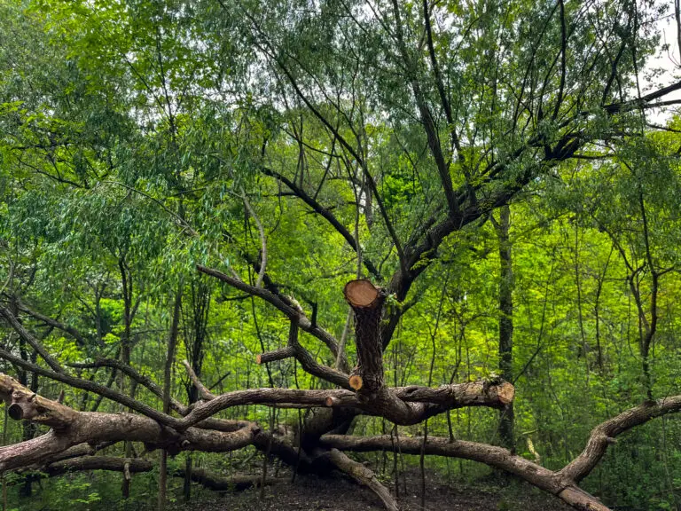
Moving further south, you begin to get into the wooded, ravine area of the park where you are only a few steps from the ravine with towering trees over you. Here you can find species such as the Ontario Trillium, Oak trees, and Chipmunks. Along with smaller fish in the ravine itself like Rainbow Darters.
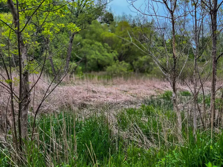
Further into this part of the trail is a small marsh-like setting with reeds sticking out on both sides of the boardwalk, and a few cherry trees as well that arch over the path.
Citations:
Jacobs, Jane (2000). Toronto: Considering Self Government. Ginger Press.
Lewyn, Michael. (2011). How Suburbia Happened In Toronto. Touro Law Center. University of Florida.
Kowalski, Janina & Elpidio Chavez. (2016). Forest Management Plan for Cedarvale Park. University of Toronto.