Toronto Islands Lakeshore Trail – Toronto, Ontario
Overview
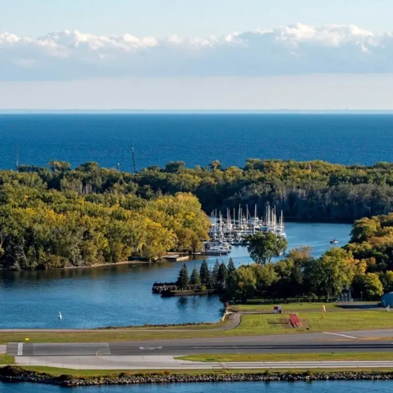
Situated on the shores of Lake Ontario are the unique land formations known as the Toronto Islands.
Several islands make up this area but the three main ones are Hanlans’, Centre and Wards respectively.
The three biggest islands were connected due to dredging efforts however their specific names remain as a wayfinding tool.
Furthermore, these three spots are the only places to catch a ferry between the mainland and the island chain.
Here, Toronto maintains its very own beachfront areas, native forests and the largest car-free area in Canada!
Location
History
Long before the islands were a place of rest and respite from the hustle and bustle of downtown, the Mississaugas used the Toronto Islands for a similar purpose.
The island(s) were seen as a place of healing and were important to indigenous culture due to their proximity to the lake and central location in the Tkaronto region.
During these times, the islands were seen as expansive sandbars, however, their size would continue to grow, especially once the British arrived in the 18th century.
Toronto’s oldest building – the Gibraltar Lighthouse – can be found on the Islands, just off the path that you will be exploring!
The British saw the sandbars and their development as an important naval security feature for the Toronto Harbour and, dredging projects began to secure the shoreline of the islands and expand them further.
In 1858, the city of York noticed that a large storm had created an additional island in the chain, Ward’s Island- which helped strengthen the way that the islands shielded the city from invaders.
There was only a small gap on the eastern side of the islands that became known as the eastern gap- the main entry into the Toronto Interior Harbour.
By 1909, the Islands began to become habitable and a place where people could live in the city without the noise and sound from the mainland.
Then in 1956, the City of Toronto transferred control of the islands to the larger Metro Toronto Municipality where it would be developed further into a regional park.
Species On Trail
Black Oak – Quercus velutina
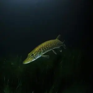
Northern Pike – Esox lucius
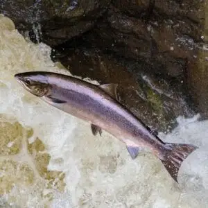
Atlantic Salmon – Salmo salar
Spongy Moth – Lymantria dispar dispar
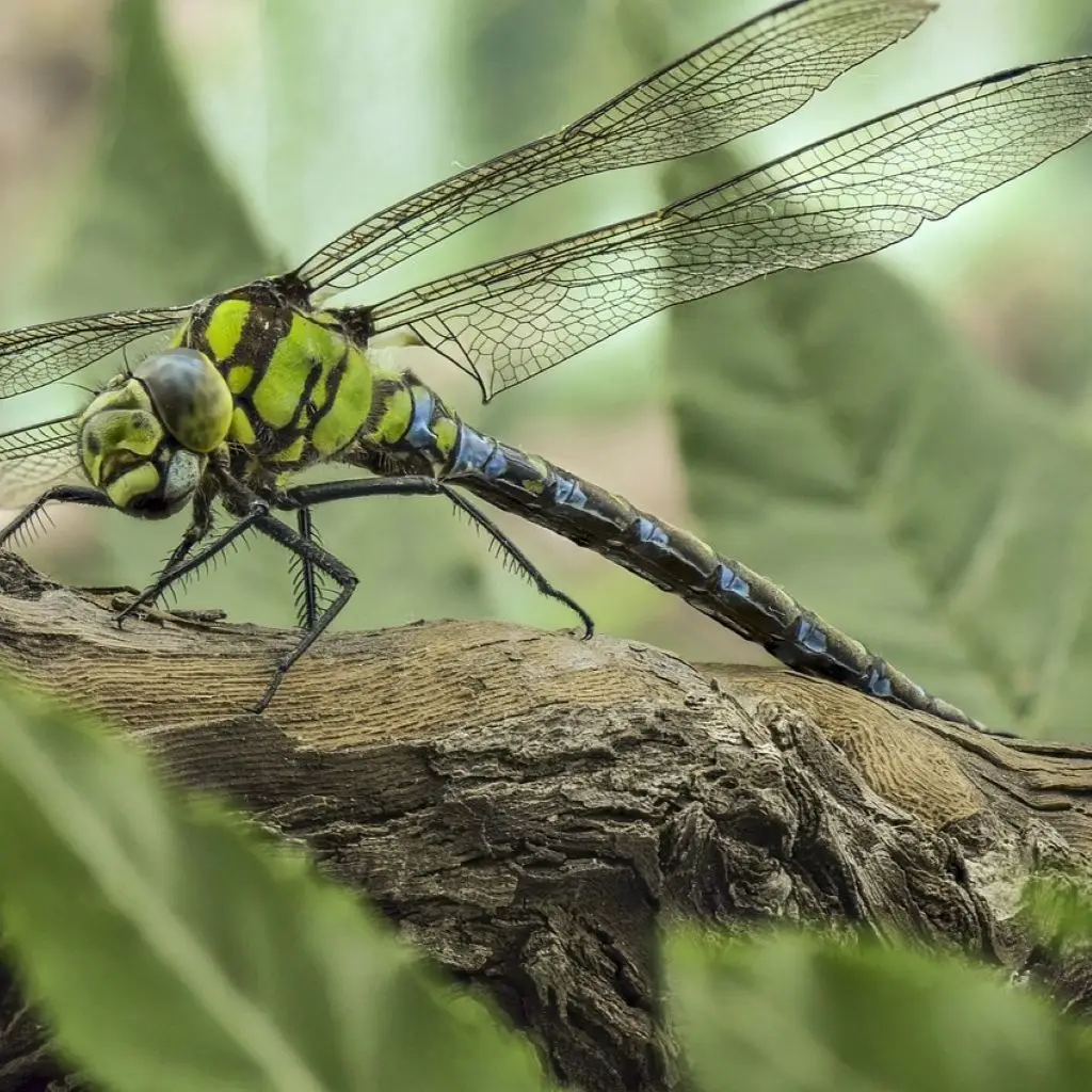
Common Green Darner – Anax junius
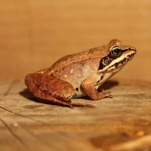
Wood Frog – Lithobates sylvaticus
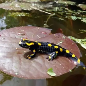
Yellow Spotted Salamander – Ambystoma maculatum
Rock Pigeon – Columba livia
Featured Ecosystems
The Toronto Islands is a great spot for people to come birding due its various channels between the islands that offer migratory birds like Canadian Geese, Hurons, and Swallows to come and create their nests.
Furthermore, this is one of the most prolific fishing spots in the city due to it being right in the lake, many people can see species of fish that you would normally only see in deeper water such as Perch and Salmon.
However, you do need a fishing license if you intend to fish with your family here.
One of the biggest attractions on the island is the beaver dens that crop up every year in the channels of the islands.
The beavers here are a well-known and constant sight for people who have always wanted to see this Canadian mascot.
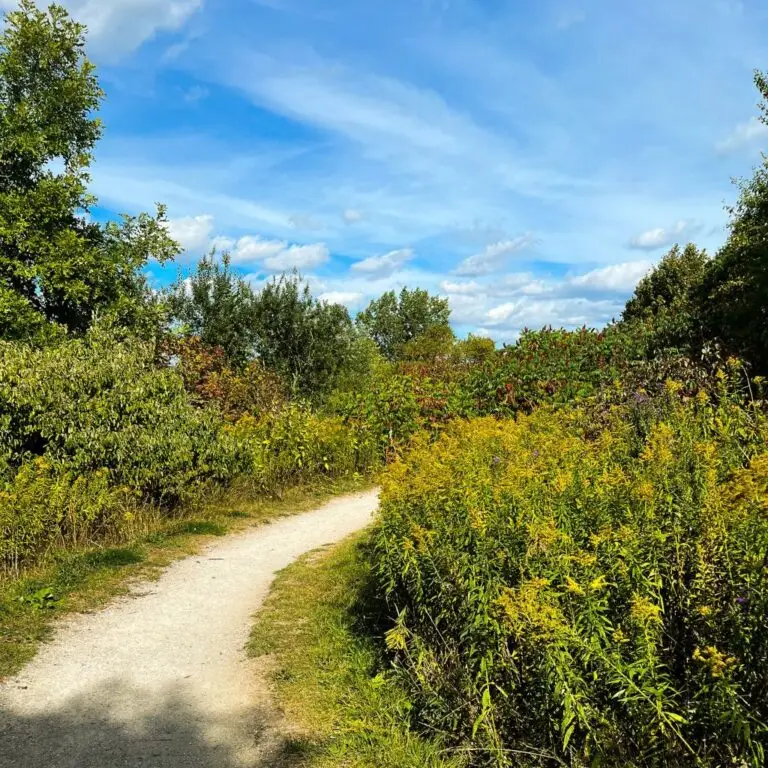
Moving into the interior parts of the island, there are many examples of well-maintained wetlands and forest areas on the island as well.
The city has been invested in removing non-native plant species like Norway Maples and Scottish Pines from the area that was once extremely popular in the Colonial times of Toronto.
Citations: City of Toronto (2025). Master Plan for the Toronto Islands. https://www.toronto.ca/city-government/planning-development/construction-new-facilities/parks-facility-plans-strategies/toronto-island-park-master-plan/
Government of Ontario. (2025). The Toronto Islands. https://www.destinationontario.com/en-ca/attractions/toronto-islands#:~:text=The%20Toronto%20Islands%20were%20originally,chain%20of%20islands%20was%20formed.
Toronto District School Board. (2008). https://schoolweb.tdsb.on.ca/islandoutdoor/Home/History
Toronto Harbourfront Canoe & Kayak Centre. (2024). The History of the Toronto Islands. https://paddletoronto.com/toronto-island-info-and-history/
TRCA (2005). Fishing the Toronto Islands. https://trca.ca/app/uploads/2017/09/FishingTorontoIslands.pdf